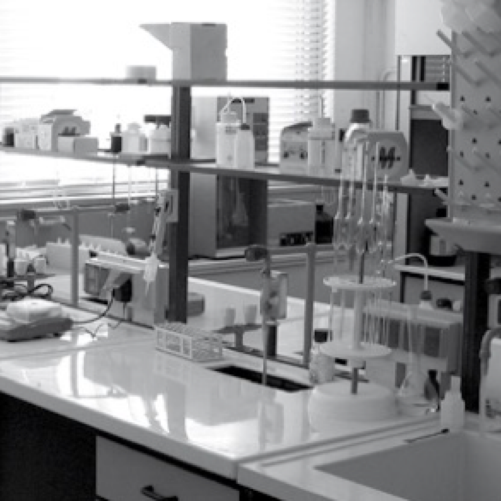
The Branch is equipped with advanced research laboratories and infrastructures in environmental chemistry, atmospheric modeling and development of interoperable systems. It is also equipped with a high-altitude climatic-environmental observatory for the study of atmospheric chemistry: CNR-IIA’s Climatic-Environmental Observatory on Monte Curcio
These infrastructures make it possible to develop experimental activities both in the laboratory and in the field, to design and implement very advanced sensor systems and to analyze the causes and effects of atmospheric pollution, to work on strategies to mitigate the impact on ecosystems and on the health of the citizens.
Calculation / Numerical Simulation Laboratories
In the Calculation / Numerical Simulation Laboratories, equipped with single and multiprocessor workstations, are developed and used softwares for the simulation of atmospheric chemistry and the transport and dispersion of pollutants. The chemical models used are developed and used both as box-models and as one-dimensional (column) or three-dimensional (transport and dispersion) models.
In addition to the development and use of models for the simulation of meteorology and the study of atmospheric chemistry (e.g. WRF and WRF-Chem) on a local and regional scale, the modeling group at the Rende site has developed ECHMERIT, a global model on the chemistry of mercury in the atmosphere, used to identify transport trajectories in the atmosphere, the concentration fields and the distribution of deposition flows (dry and wet) of mercury and its compounds on a global scale.
Mobile Laboratory
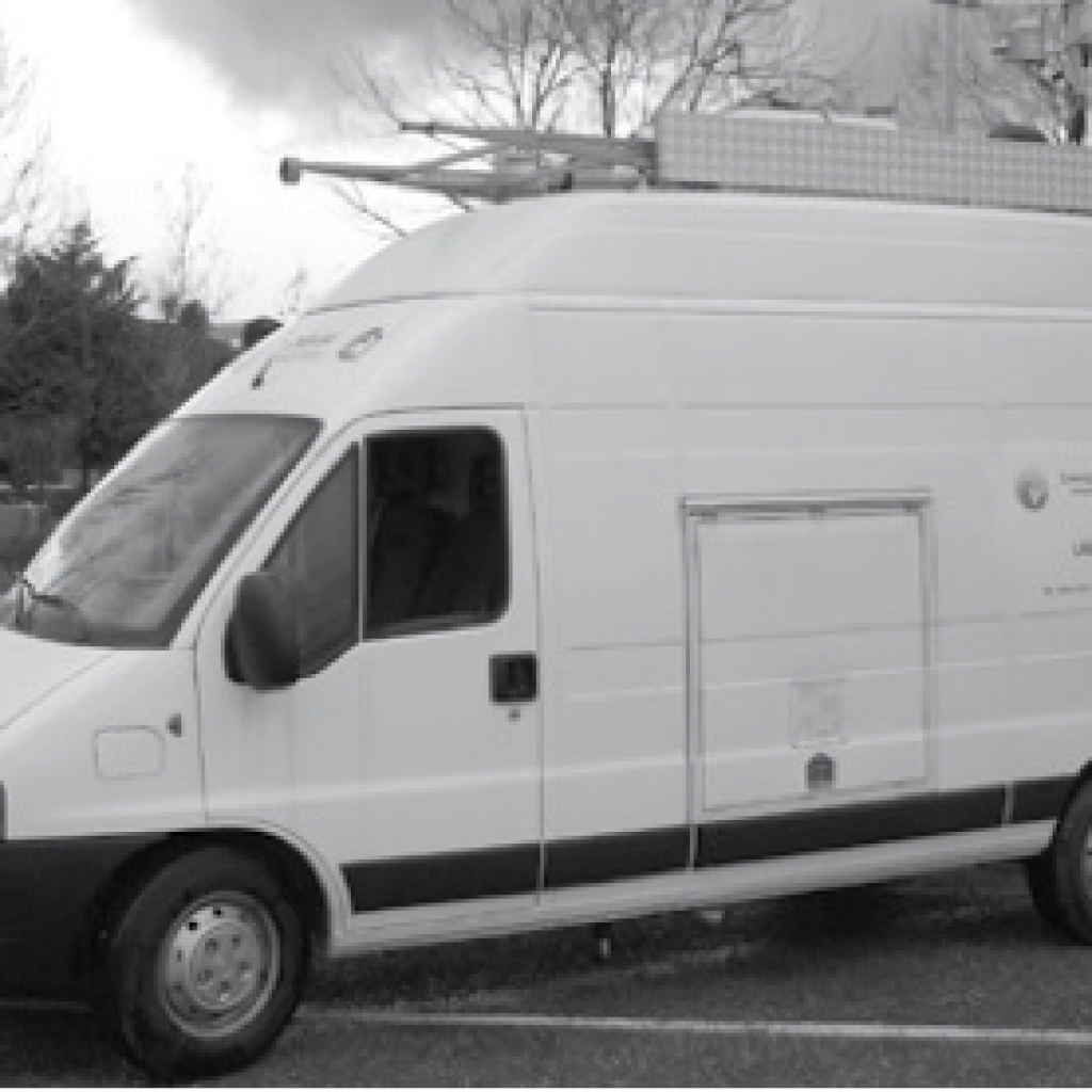
The Rende Branch is also equipped with a Mobile Laboratory for the study of Air Quality in urban and rural / remote areas.
It consists of a highly customized vehicle to ensure the best use of the instrumentation installed on board in any situation.
It is also able to host further analytical lines and has a data acquisition system to send the acquired data directly to the Rende branch, and a satellite alarm.
GOS4M Knowledge Hub
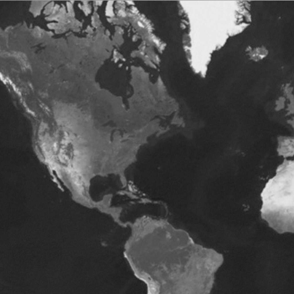
The mercury data infrastructure and the GOS4M Knowledge Hub were developed as a contribution to the implementation of the Minamata Convention.
The data infrastructure stores the data of mercury measurements in the atmosphere, in water and biota, carried out throughout the research activity conducted through projects (MERCYMS, GMOS), through oceanographic campaigns (MEDOCEANOR) and expeditions to the poles. The amount of data collected allows the continuous validation of the models and the development of predictive scenarios.
The scenarios are therefore used in the development of applications that allow policy makers to make assessments on the implementation of mercury pollution reduction strategies. The activity allows for the transfer of knowledge and for the data measured for scientific purposes to become an indicator for decisions.
Observational Systems
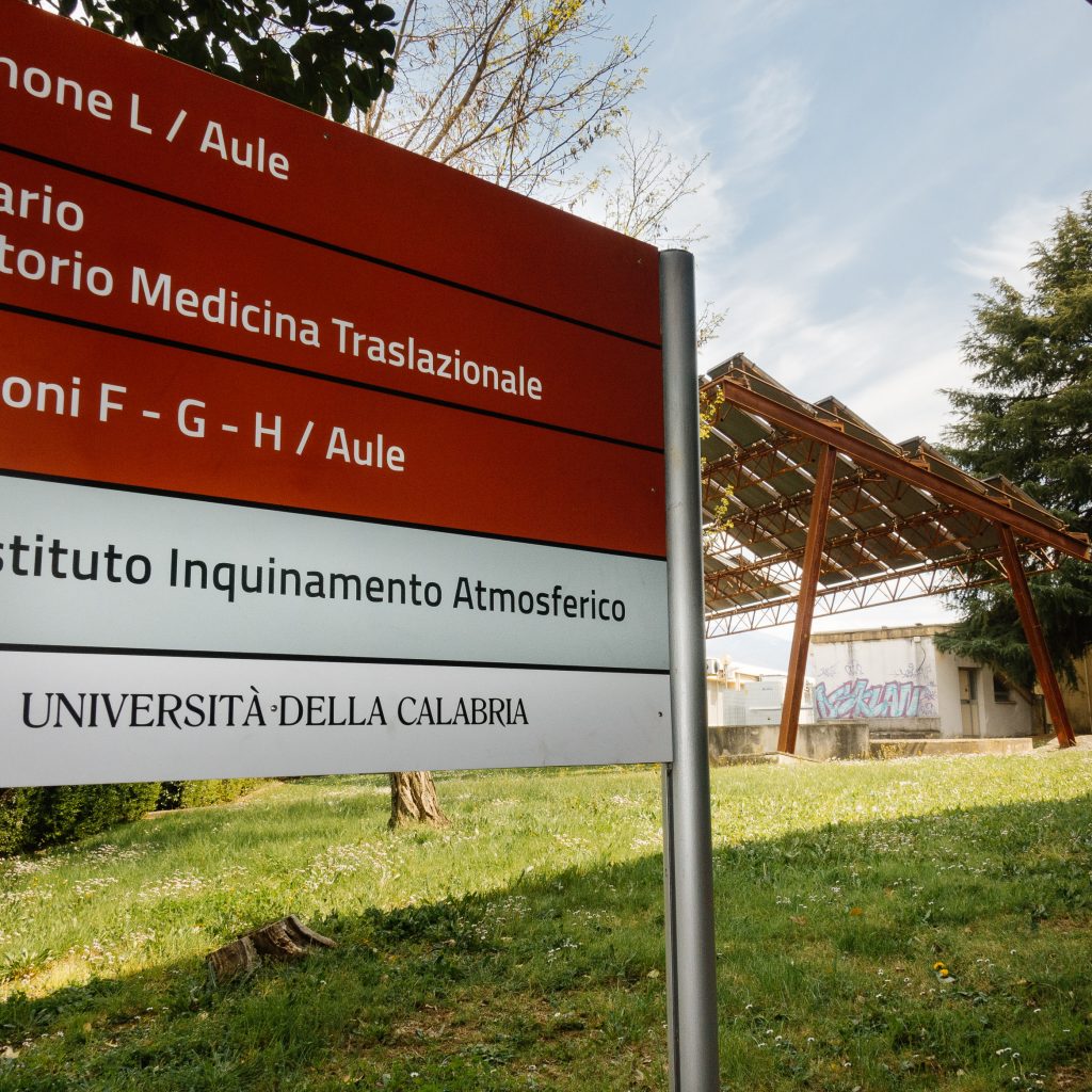
CNR-IIA’s Climatic-Environmental Observatory on the Atmosphere on Mount Curcio is located in a remote and strategic position within the Sila National Park (Sila Grande). The park has been recognized by UNESCO as an Italian national biosphere reserve since June 2014. The site is characterized by the absence of local sources of contamination and is not directly accessible from common traffic roads. It is possible to get to the station via a cable car, the arrival point of which is 200 m from the station itself. Located at 1780 m. above sea level, the monitoring site is positioned on a peak of the southern Apennines, from which it is possible to enjoy a completely free horizon that allows for monitoring measures with a wide spatial representation. The observatory is also located in the center of the Mediterranean basin, approximately 30 and 60 km from the Tyrrhenian and Ionian seas respectively.

Thanks to the altitude and position of the site, the observatory on Mount Curcio is able to intercept the plumes of Saharan sand as well as the volcanic dust and gases deriving from the nearby volcanoes Etna and Stromboli, respectively about c. 220 and 120 km away. The station is part of the World Meteorological Organization’s Global Atmospheric Watch (GAW) program to assess the “health” of the atmosphere and to support sound environmental policies. At the station are measured the chemical composition of the atmosphere, trace and climate-altering gases and meteorological parameters.
